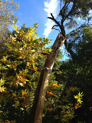
今日は、念願のサンティアゴピーク、アンテナハイキングの日。
キリマンジャロ、マウントウィットニーとは比べものにはなりませんが、オレンジ郡では標高1733メートルの一番高い岳。 ザイオンやヨセミテ国立公園でのハイクの経験はあるものの、私にとってサンティアゴピークは、標高と距離の意味で今までにない大チャレンジとなりました。
My friend Suzi and I decided to take Holy Jim Trail which probably is the most scenic route to the top. After almost 5 hours of long hike on zigzag steep slopes under the hot sun, jumping over little creeks, walking under the freezing tree shades on the frozen ground, we made it to the top. To avoid hiking in the dark after the sunset, we rested only 3 minutes and started to head back.
友達のスージーと、景色が最も素晴らしいと言われるホーリージムTrail をハイクすることに決定。
5時間という長~いハイクの末、やっと頂上に到着。途中、太陽の暑い日ざしの下での急なジグザク坂登り、小川も幾つ飛び越えたことだろう...、凍った路上で滑るのではとヒヤヒヤしながらの、凍えてしまいそうなくらい寒い木陰のハイク、やっとアンテナの立ち並ぶ頂上まで登れました。
暗くなるまでに麓に戻ろうと、頂上での休憩時間は3分ほどで、下山することにしました。

 |
| Mountain Lion Foot Prints |
I though I would never get to the top, but I did. What a beautiful day it was for it's perfect hiking weather and my accomplishment! Yappi!
家の裏庭から、見えるサンティアゴピークは、雲の上のような存在。いつもは目を細めて、やっと位置を確認。そんな遠くにハイク出来るかな~とずっと思ってきました。今日それが実現できてとっても嬉しい! 達成感がハートいっぱいに満ちる素敵な一日となりました。 ヤッピイ~!


0 件のコメント:
コメントを投稿